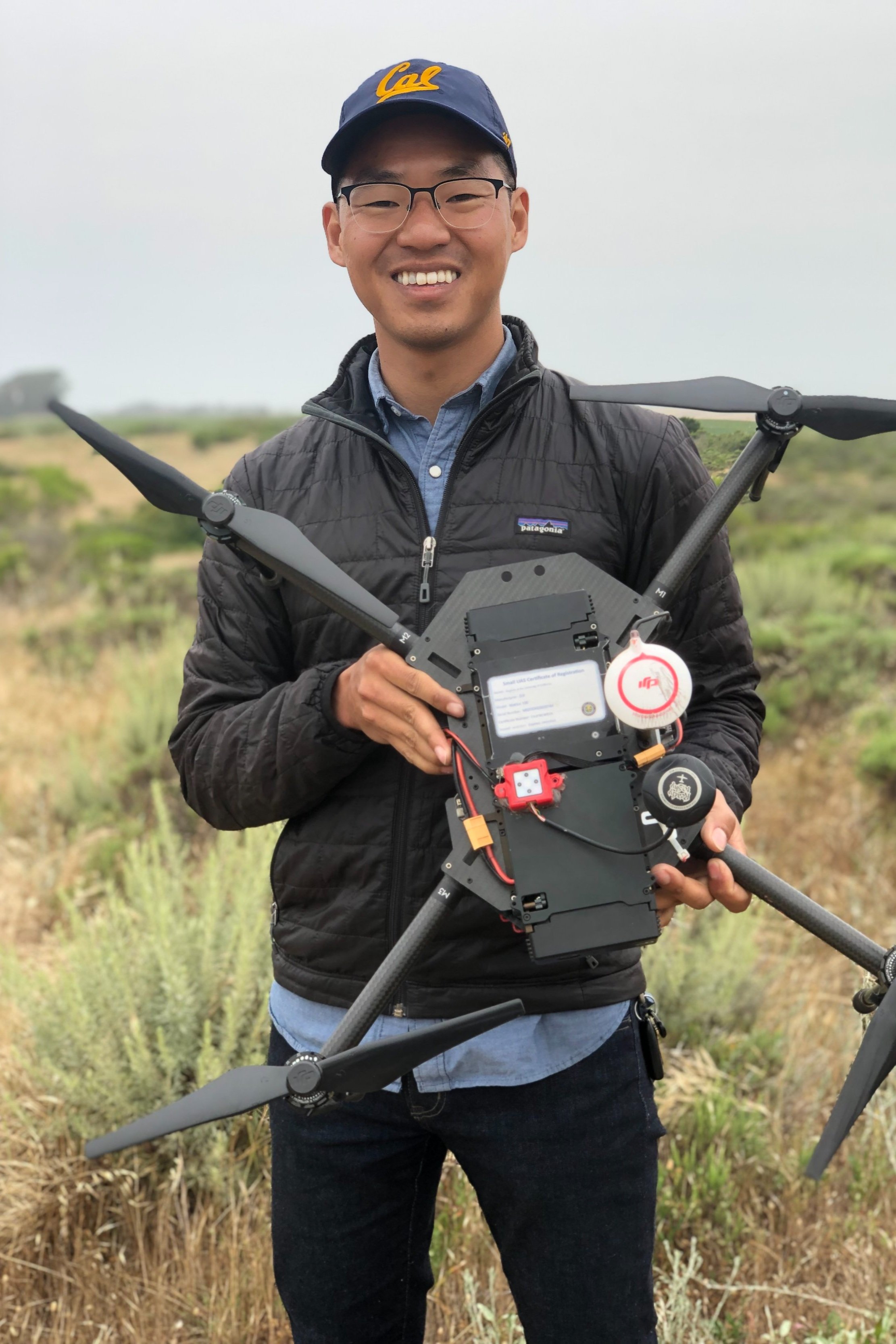
Geographer
12-year GISP-certified professional leveraging RTK surveying, drones, satellites, and cloud compute to deliver value within AEC (architecture, engineering, construction), agriculture, and conservation.
12-year GISP-certified professional leveraging RTK surveying, drones, satellites, and cloud compute to deliver value within AEC (architecture, engineering, construction), agriculture, and conservation.
Zack Dinh
Full Stack Geographer | GISP Certified | FAA Part 107
Master of Landscape Architecture (Environmental Planning), University of California, Berkeley
BA Urban Studies & Planning, San Francisco State University
Advanced Spade | Solutions Engineer | Signal Hill, CA | May 2025 - March 2026
Cargill | Senior Geospatial Analyst | Remote | Jan 2023 - Feb 2025
Sea Warden | Founder | Los Angeles, CA | June 2020 - Oct 2022
Intersect Power | Geospatial Analyst | San Francisco, CA | May 2018 - May 2019
CD+A | Urban Designer & Geospatial Analyst | Oakland, CA | June 2015 - May 2017
Instructor | UC Berkeley
Land Surveyor | Denn Engineers (Mar - May 2025)
UAS internships
Urban Planning
Prototyping
A Review of Unoccupied Aerial Vehicle Use in Wetland Applications
Drones, MDPI | May 25, 2021
Show publication
Sea Warden:
A Remote Sensing-enabled Decision Support System for the Sustainable Management of Marine Aquaculture in the Greek Sea Space
University of California, Berkeley | May 1, 2020
Show publication
Geomorphic and Hydraulic Controls on Coho Salmon Outmigration in the Russian River Watershed, California
University of California, Berkeley | Nov 23, 2019
Show publication
Viable Public Lands For Workforce Housing
Metropolitan Transportation Commission | Aug 7, 2018
Show publication